Pit Stops Open Pit Mine Overlooks in the West
A project by the Center for Land Use Interpretation (CLUI). Images from the CLUI Photo Archives
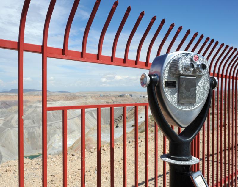
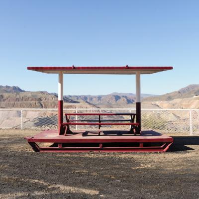
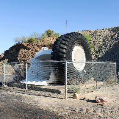
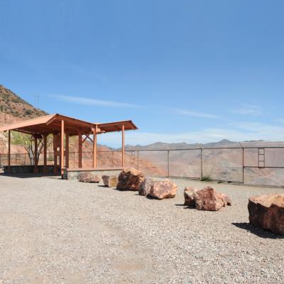
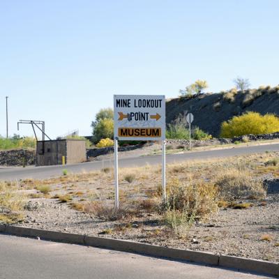
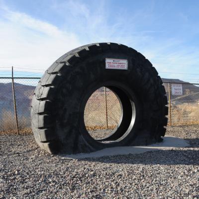
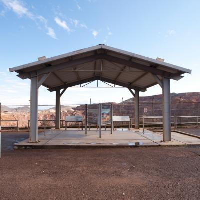
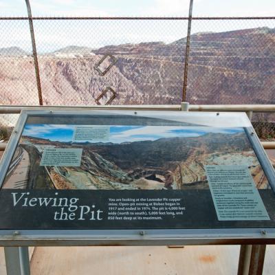
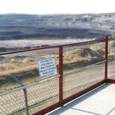
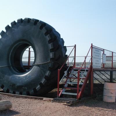
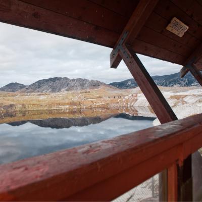
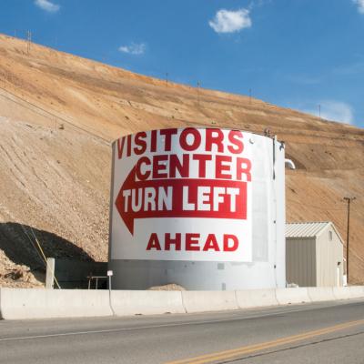
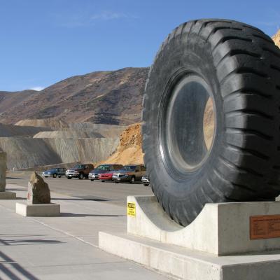
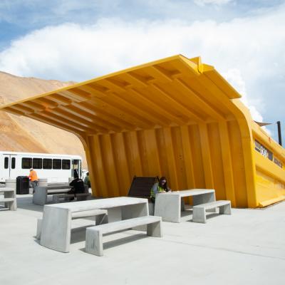
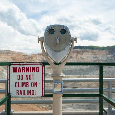
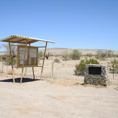
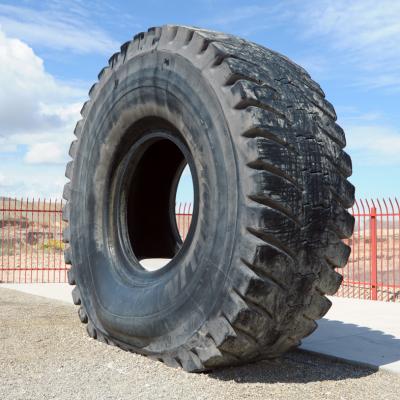
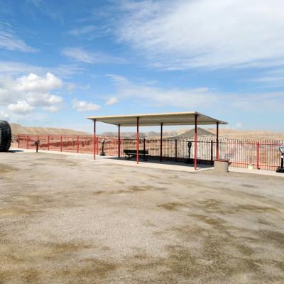
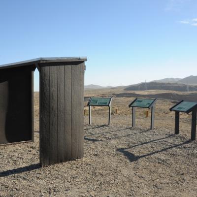
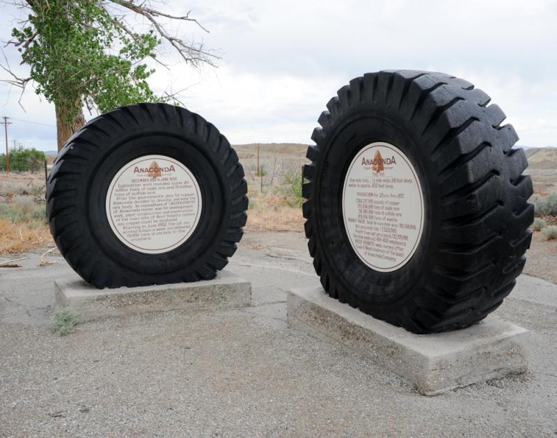
The western states are full of holes formed by open pit mining, and many of them are so big it is impossible for them not to be noticed by people passing through. Some of these sites confront their visibility head on, accommodating viewers by providing a place to pull off the road, and peer into their landscape void. Though that might be enough, it doesn’t usually stop there. Open pit mine overlooks generally include visitor infrastructure in the form of observation decks, interpretive plaques, suggested photo spots, viewing devices, picnic tables, heavy machinery displays, and at least one or two oversized mining truck tires. They provide a sightseer-friendly frame for these man-made Grand Canyons, dramatic landscapes carved by explosives and machines–breathtaking and lingering monuments of our ongoing industrial age.
This selection of images from the Center for Land Use Interpretation’s photo archive show the way the experience of looking can be shaped and structured at these open pit mining sites. The images in this exhibit were drawn from the thousands of locations that have been documented by the Center for Land Use Interpretation since its founding in 1994. These are among the most iconic images in the CLUI’s photo archive, as they show both the immensity of human constructions, and the interpretive structures built to contextualize them.
More about The Center for Land Use Interpretation
The Center for Land Use Interpretation (CLUI) is a non-profit research organization, founded in 1994, involved in exploring and understanding land and landscape issues. The organization produces exhibitions about land use phenomenology in the United States, and displays them at its exhibit locations and at other museum and non-commercial and educational venues as well. The CLUI also produces publications, online resources, tours, lectures, and other public programs across the country.

