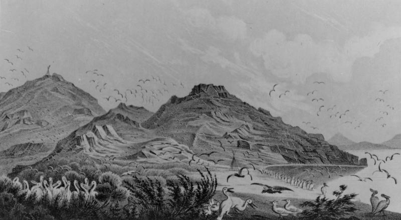
Gunnison Island
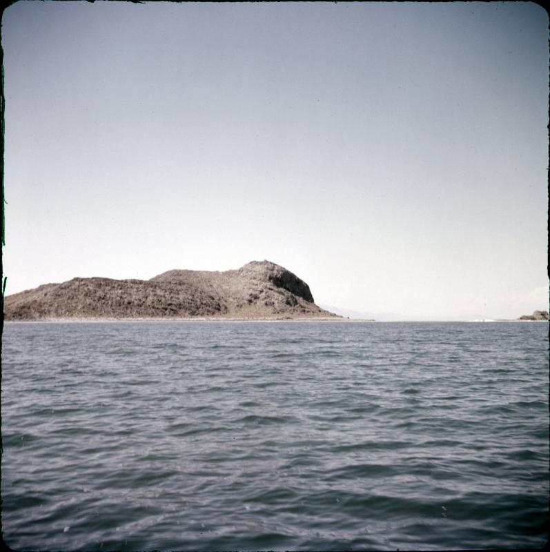
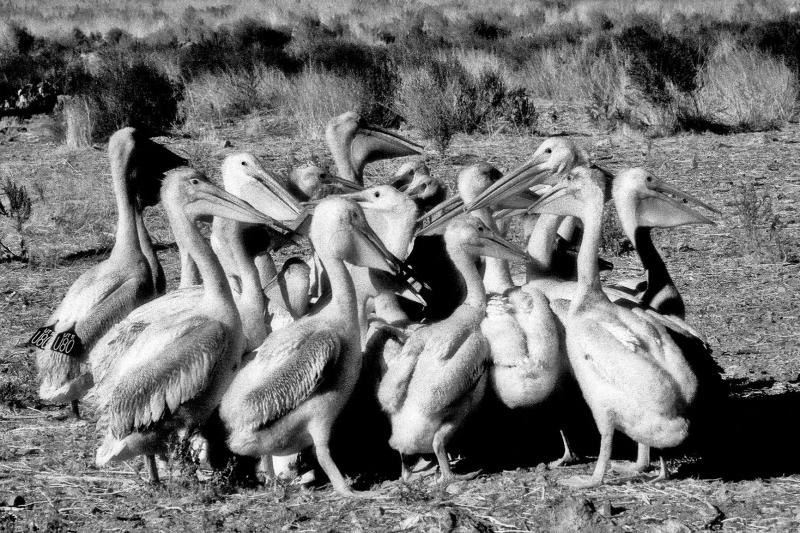
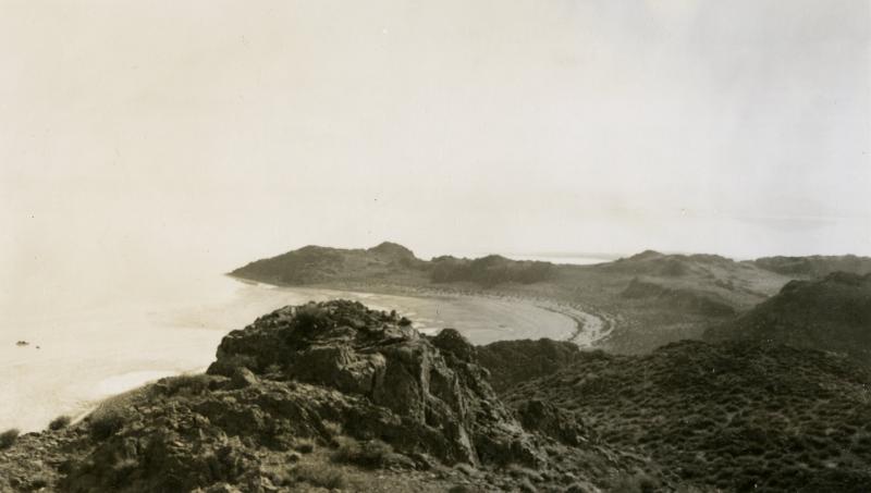
Gunnison Island is the largest island in the north arm of the Great Salt Lake, and a critical habitat for the Lake’s bird communities. The Island serves as one of the largest rookeries remaining for the American White Pelican, in addition to providing breeding habitat and security to communities of California gull, Great blue heron, common raven, prairie falcon, and rock wren. The 10,000 white Pelicans that live on the island are estimated to represent ten to twenty percent of the entire extant population. Recent periods of low water have exposed a land bridge of salt flats that have allowed coyotes and other predators to access the island, a troubling sign for this critical habitat. Today the island is protected by the State of Utah as the Gunnison Island State Wildlife Management Area, with tight access restrictions designed to protect the nesting birds. About six miles from the western shore of the north arm, the island is about a mile long and a half mile wide. The island is named after John Gunnison, who was Howard Stanbury’s second-in-command on the 1850 expedition to map the Great Salt Lake. In the mid-1890s, the island was inhabited by the artist Alfred Lambourne, who turned his drawings and observations on the island into Our Inland Sea. In the same time period, guano-sifters arrived on the island, in a short-lived bid to mine the generations of bird excrement for use as a commercial fertilizer. The mining activity forced the Pelicans to abandon the island as a nesting sight, though they returned shortly after the miners packed up their tools and went home.


