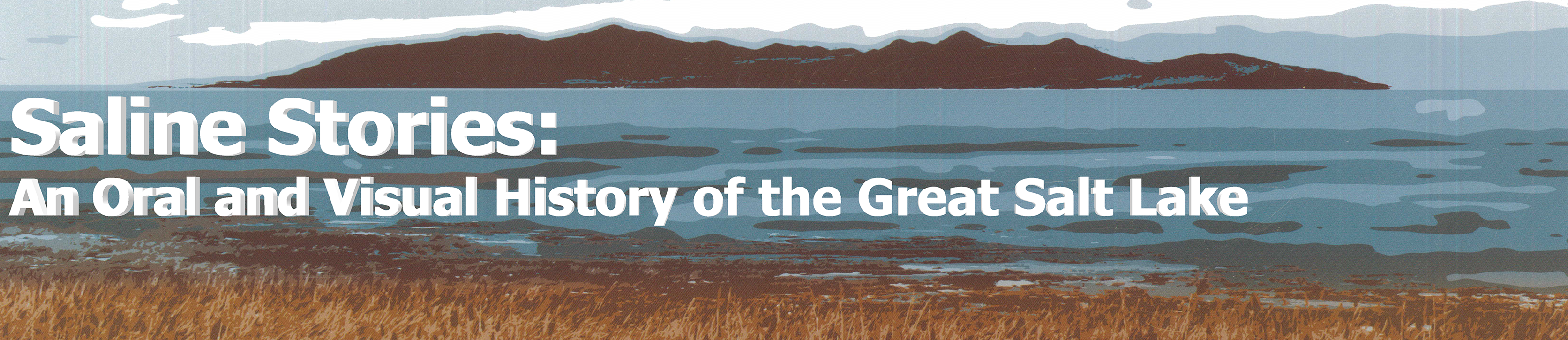
Bear River

The Bear River is the largest inflow to the Great Salt Lake, supplying more than half of its fresh water. Western Shoshone peoples called it Kui-o-gwa. Rising in the Uinta Mountains, the Bear flows 350 miles through southwestern Wyoming, southeastern Idaho, and Northern Utah, to enter the Lake on the northeastern side of the south arm. It is the longest River in North America that does not reach the sea. The River is the homeland of Shoshone peoples, although Euro-American fur traders were drawn to the Bear in the 19th Century because of its abundance of beaver. The California and Oregon emigration trails followed the River north out of Wyoming and towards Fort Hall. On January 23rd 1863 the River became the namesake of the Bear River Massacre, where more than 400 Shoshone men, women and children were slaughtered by United States Army soldiers under the command of Patrick Edward Connor. Farmers in the Bear River Valley found some success in the closing days of the 19th Century growing sugar beets, and since then The Valley has proven to be agriculturally productive. The bottom ten miles of the River and its delta is protected today as the Bear River Migratory Bird Refuge.

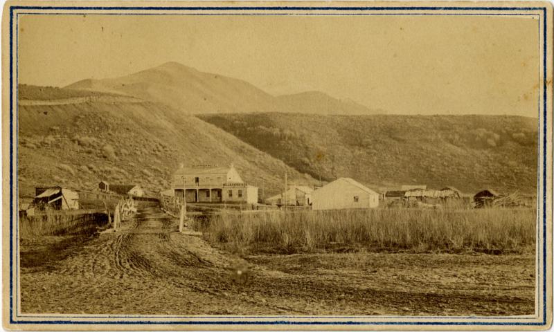
Photo of the Bear River station showing the Bear River Hotel and the Wells Fargo station about 1867. From the Bear River, utah Photograph Collection, Marriott Digital Library.

Click here for the full oral history with Genevieve Atwood and Don Mabey

Genevieve Atwood and Don Mabey discuss their involvement with the Great Salt Lake. They talk about their early experiences with the lake, and when and why they became interested in it. They describe their educational training and interests in science. Atwood discusses her career with the Utah Geological Survey, her contribution to several boards involved with the Great Salt Lake, and her time in the Utah State Legislature. She describes many of the lake’s important historical and geographical features, and the lake’s processes. She talks about her involvement in the management of the lake. Don talks about his work helping manage and plan for the Great Salt Lake. Atwood discusses the high lake level times, as well as many of the plans to control the lake level. In the second interview, Atwood talks about the causeway and its effects on the Great Salt Lake. She discusses the high lake level years. She describes the map of the Great Salt Lake that she, Mabey, and Don Currey designed and produced. Atwood talks about leaving the UGS and her time in the state legislature. She talks about the management of Great Salt Lake. She details the educational work she does with teachers and students about and at the Great Salt Lake. Don and Genevieve talk about their favorite places and experiences at the Great Salt Lake.

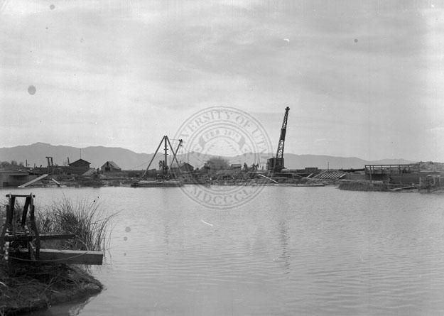
Photo showing construction activity on the shore of the Bear River, perhaps constructing dikes or levees. Circa 1920s, 1930s. From the Shipler Studio Photograph Collection.

Click here for the full oral history with Gary Belovsky

Gary conducted a 20-year study with the Great Salt Lake Ecosystem Program on brine shrimp as an important food source for migratory birds, as well as the key component in the commercial brine shrimp industry. He took over the laboratory and modeling work for the project in the mid-90s, and his ecosystem model has been used to address and improve lake management in relation to the shrimp harvesting industry. Gary was born and raised in St. Charles, Illinois, andhe received his PhD in biology from Harvard University. He taught at the Department of Fisheries & Wildlife at Utah State University, and began studying GSL ecology with the Utah Division of Wildlife Resources in 1994. This led to developing a shrimp harvesting management strategy still used by the state of Utah today. In this interview, Gary talks about shrimp harvesting on the lake before regulations were put into place, how he and his team collected data over the course of the GSL study, and how the data collected led to the development of harvesting regulations currently used on the lake.

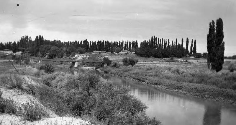
Bridge across Bear River at Bear River City, Utah. Gift of Charles Kelly. Picture taken 1945. From the Classified Photograph Collection, copyright Utah State Historical Society.

Click here for the full oral history with J. Wallace Gwynn

Dr. Gwynn was employed by the Utah Geological Survey (UGS) for thirty-four years as the primary geologist assigned to the Great Salt Lake. In this interview, Dr. Gwynn talks about his experience working with the UGS, as well as his work at the Great Salt Lake. Topics include brine shrimp, lake minerals, salt mining, oil exploration, and the impact of the mid-1980 high water years on the lake and his work. Dr. Gwynn edited two anthology publications on the Great Salt Lake Great Salt Lake: a scientific, historical and economic overview, published in 1980, and Great Salt Lake: an overview of change, published in 2002. Dr. Gwynn received Bachelor’s Degree and PhD from the University of Utah in mineralogy and allied fields. He worked for a few years in industry before joining the UGS.

Click here for the full oral history with Genevieve Atwood and Don Mabey

In this clip, Atwood and Mabey discuss the Bear River, the level of the Lake, and the State Government's involvement in managing this unique resource.